The measurements will be made from a 65 m tall, small-cross-section tower of the type used to support radio antennas (Rohn 45G, Peoria IL), selected to minimize wind distortion and possible heating artifacts, placing the sensor well above the tallest emergent trees. The data acquisition system and most instruments and will be housed in a climate controlled hut 15-30 m west of the tower base, accessible by a dirt road. The CO2-H2O sensor will be placed close to the sonic anemometer near the top of the tower to keep tubing short.
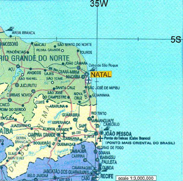
The site is in a protected primary forest reserve at km 117 south of Santarem (IBAMA station S 03o 21.357′ W 54o 56.959′ in the Floresta Nacional do Tapajos. This site is extremely flat, an extensive planalto that drops about 30m to the level of the Tapajos river 10-15 km to the west. Soils are uniform yellow oxisols similar to soils at the site to be cut, which lies 30 km to the north. The nearest secondary road is 5 km to the east and the nearest urban area is 100 km to the North (Santarem); otherwise the area is quite isolated.


 Salvador Dali, El Ojo.


